
complete information about nagpur city
Nagpur, Maharashtra India
The Geo graphical location of Nagpur is located between 21*45 N to 20*30 N and 78*15 E to 79*45 E,
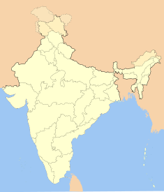
Nagpur is heart of INDIA since it is located at center also called as orange city
The surrounding districts of Nagpur are Bhandara on the east, Chandrapur on the south, Amravati and Wardha on the west and in the north shares the boundary with Madhya Pradesh.
| Maharashtra • India | |
| Nickname: Orange city | |
 | |
Coordinates:  21°05′N 79°02′E / 21.08, 79.03 21°05′N 79°02′E / 21.08, 79.03 | |
| Time zone | IST (UTC+5:30) |
| Area
• Elevation | 218 km² (84 sq mi)
• 310 m (1,017 ft) |
| Region | Vidarbha |
| District(s) | Nagpur |
| Population
• Density | 2,420,000[1] (2006)
• 11,101 /km² (28,751 /sq mi) |
| Language(s) | Marathi, Hindi, English |
| Mayor | Mrs. Mayatai Iwanate |
| Municipal Commissioner | Mr. Sanjay Sethi |
| Founded | Early 18th century [2] |
| Codes
• Pincode • Telephone • Vehicle |
• 4400xx • +91-712 • MH-31,MH-40 |
0 comments:
Post a Comment